Castle Lane, Bedford
Introduction
The photograph on this page of Castle Lane, Bedford by Rich Tea as part of the Geograph project.
The Geograph project started in 2005 with the aim of publishing, organising and preserving representative images for every square kilometre of Great Britain, Ireland and the Isle of Man.

There are currently over 7.5m images from over 14,400 individuals and you can help contribute to the project by visiting https://www.geograph.org.uk
Castle Lane, Bedford
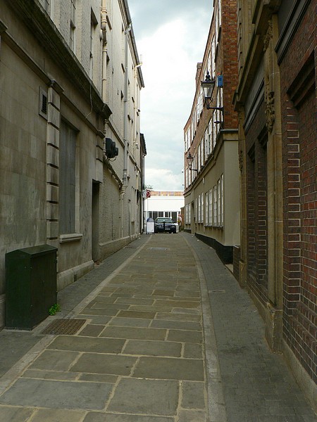
Image: © Rich Tea Taken: 19 Jun 2009
Which leads from the High Street to car parks and Castle Hill - the site of Bedford Castle which was pulled down hundreds of years ago.
Images are licensed for reuse under creativecommons.org/licenses/by-sa/2.0
Image Location
Latitude
52.135438
Longitude
-0.466128