Stream Junction
Introduction
The photograph on this page of Stream Junction by Marion Phillips as part of the Geograph project.
The Geograph project started in 2005 with the aim of publishing, organising and preserving representative images for every square kilometre of Great Britain, Ireland and the Isle of Man.

There are currently over 7.5m images from over 14,400 individuals and you can help contribute to the project by visiting https://www.geograph.org.uk
Stream Junction
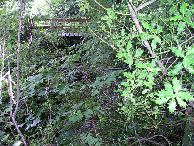
Image: © Marion Phillips Taken: 7 Jul 2009
Because this area is overgrown with bracken, bushes and small trees, it was difficult to take a photograph of this stream junction. You can just discern the two water flows, one under the holly leaves on the right and the other under the sycamore leaves on the left. Beyond is a private footbridge belonging to the adjacent property.
Images are licensed for reuse under creativecommons.org/licenses/by-sa/2.0
Image Location
Latitude
52.058078
Longitude
-4.11606