Polstreath
Introduction
The photograph on this page of Polstreath by Derek Harper as part of the Geograph project.
The Geograph project started in 2005 with the aim of publishing, organising and preserving representative images for every square kilometre of Great Britain, Ireland and the Isle of Man.

There are currently over 7.5m images from over 14,400 individuals and you can help contribute to the project by visiting https://www.geograph.org.uk
Polstreath
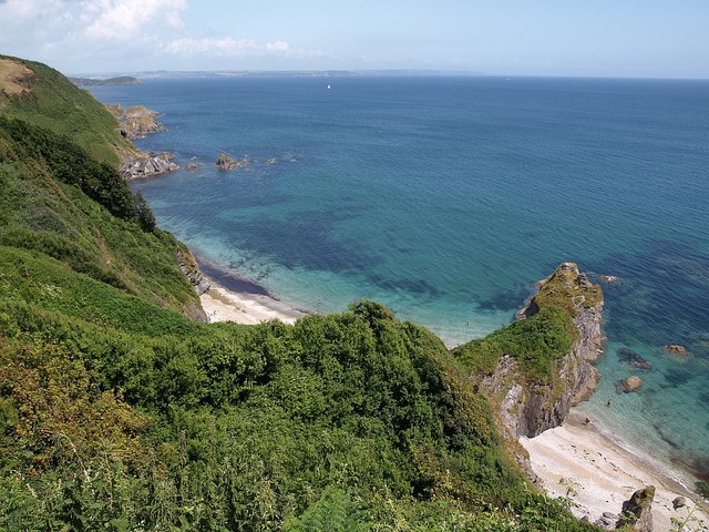
Image: © Derek Harper Taken: 3 Jul 2009
Like Image, and placing it a wider context, taken from the South West Coast Path. The rocks towards Penare Point on the left can also be seen in Image
Images are licensed for reuse under creativecommons.org/licenses/by-sa/2.0
Image Location
Latitude
50.274286
Longitude
-4.784293