Glebe, Bressay
Introduction
The photograph on this page of Glebe, Bressay by Mike Pennington as part of the Geograph project.
The Geograph project started in 2005 with the aim of publishing, organising and preserving representative images for every square kilometre of Great Britain, Ireland and the Isle of Man.

There are currently over 7.5m images from over 14,400 individuals and you can help contribute to the project by visiting https://www.geograph.org.uk
Glebe, Bressay
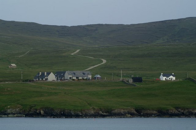
Image: © Mike Pennington Taken: 5 Jul 2009
From the Aberdeen ferry; the track to the masts on the Ward of Bressay is in the background.
Images are licensed for reuse under creativecommons.org/licenses/by-sa/2.0
Image Location
Latitude
60.145121
Longitude
-1.111355