Friary Park Community Centre, Acton
Introduction
The photograph on this page of Friary Park Community Centre, Acton by David Hawgood as part of the Geograph project.
The Geograph project started in 2005 with the aim of publishing, organising and preserving representative images for every square kilometre of Great Britain, Ireland and the Isle of Man.

There are currently over 7.5m images from over 14,400 individuals and you can help contribute to the project by visiting https://www.geograph.org.uk
Friary Park Community Centre, Acton
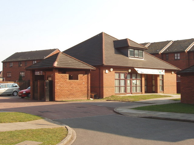
Image: © David Hawgood Taken: 15 Mar 2006
View south from Joseph Avenue. This housing estate is on the site of Walls meat factories. The Victoria County History for Middlesex article on 'Acton: Economic history' http://www.british-history.ac.uk/report.asp?compid=22549#s4 tells us: " Walls bought the 6-a. site of Friars Place house and grounds in 1919 and built a factory there to make sausages, pies, and brawn, with a slaughterhouse in Warple Way to which pigs were driven from the G.W.R. line" and "From 1956 the Friary factory concentrated on ice cream, all the meat business moving to Atlas Road, and in 1958 the two factories together employed over 3,000, with 514 at Atlas Road in 1964. The Atlas Road factory was closed c. 1978 and the Friary factory employed 800 in 1980."
Images are licensed for reuse under creativecommons.org/licenses/by-sa/2.0
Image Location
Latitude
51.516413
Longitude
-0.263615