The Woodman gets the chop
Introduction
The photograph on this page of The Woodman gets the chop by Stephen Craven as part of the Geograph project.
The Geograph project started in 2005 with the aim of publishing, organising and preserving representative images for every square kilometre of Great Britain, Ireland and the Isle of Man.

There are currently over 7.5m images from over 14,400 individuals and you can help contribute to the project by visiting https://www.geograph.org.uk
The Woodman gets the chop
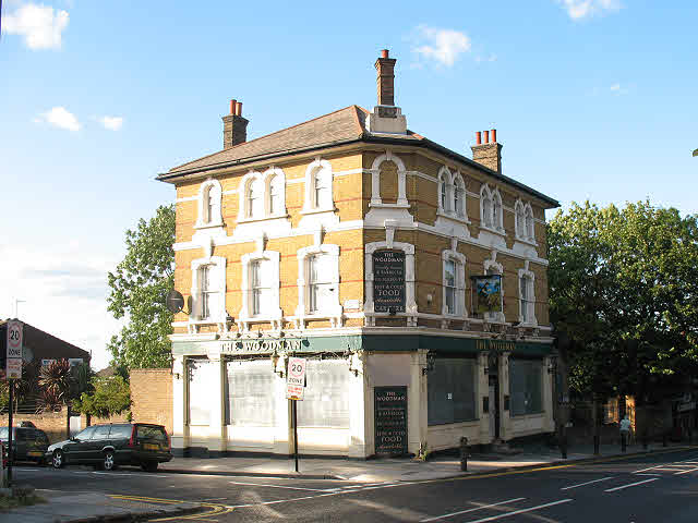
Image: © Stephen Craven Taken: 5 Jul 2009
The pub on the corner of Hillreach and Erwood Road, pictured in Image in 2007, closed in June 2009. It had been lacking in custom and rather run-down for a while so its closure was not unexpected. By 2011 it had reopened as a shop. The dark tarmac and bright white lines on the road in the foreground (Hillreach) indicate that it was resurfaced around the same time (May/June 2009).
Images are licensed for reuse under creativecommons.org/licenses/by-sa/2.0
Image Location
Latitude
51.485979
Longitude
0.050666