Lane to Tillhouse Farm
Introduction
The photograph on this page of Lane to Tillhouse Farm by Derek Harper as part of the Geograph project.
The Geograph project started in 2005 with the aim of publishing, organising and preserving representative images for every square kilometre of Great Britain, Ireland and the Isle of Man.

There are currently over 7.5m images from over 14,400 individuals and you can help contribute to the project by visiting https://www.geograph.org.uk
Lane to Tillhouse Farm
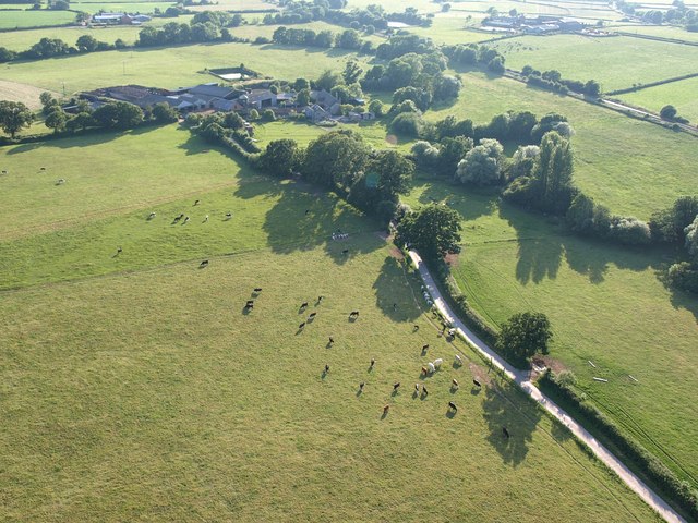
Image: © Derek Harper Taken: 1 Jul 2009
Not shown as a lane on the current 1:25000 map, this links the farm (which is in Image) to the lane near Crannaford. Seen from a hot air balloon.
Images are licensed for reuse under creativecommons.org/licenses/by-sa/2.0
Image Location
Latitude
50.752446
Longitude
-3.403347