Junction of Honeysuckle Way and Broomfield Road
Introduction
The photograph on this page of Junction of Honeysuckle Way and Broomfield Road by Martin Barnard as part of the Geograph project.
The Geograph project started in 2005 with the aim of publishing, organising and preserving representative images for every square kilometre of Great Britain, Ireland and the Isle of Man.

There are currently over 7.5m images from over 14,400 individuals and you can help contribute to the project by visiting https://www.geograph.org.uk
Junction of Honeysuckle Way and Broomfield Road
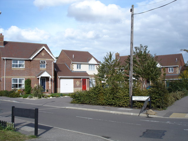
Image: © Martin Barnard Taken: 19 Sep 2004
The houses at this end of Honeysuckle way were added by Ward Homes a couple of years after the rest of the estate. Just behind the houses is this view in Broomfield pond and The Huntsman and Horne public house.
Images are licensed for reuse under creativecommons.org/licenses/by-sa/2.0
Image Location
Latitude
51.356551
Longitude
1.155967