Locking Road Weston Super Mare
Introduction
The photograph on this page of Locking Road Weston Super Mare by Ant Basterfield as part of the Geograph project.
The Geograph project started in 2005 with the aim of publishing, organising and preserving representative images for every square kilometre of Great Britain, Ireland and the Isle of Man.

There are currently over 7.5m images from over 14,400 individuals and you can help contribute to the project by visiting https://www.geograph.org.uk
Locking Road Weston Super Mare
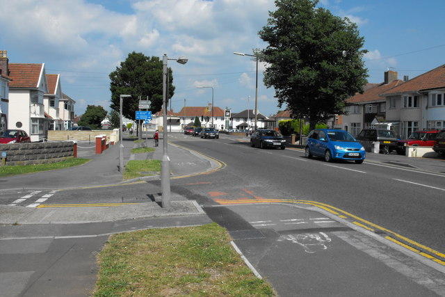
Image: © Ant Basterfield Taken: 23 Jun 2009
Here on the left of the picture is the junction of Ewart Road with the Locking Road. The right hand junction in the distance is Locking Moor Road. In its heyday as a holiday major resort, a good number of these houses were bed and breakfasts.
Images are licensed for reuse under creativecommons.org/licenses/by-sa/2.0
Image Location
Latitude
51.3503
Longitude
-2.943931