Danes Hill
Introduction
The photograph on this page of Danes Hill by Derek Harper as part of the Geograph project.
The Geograph project started in 2005 with the aim of publishing, organising and preserving representative images for every square kilometre of Great Britain, Ireland and the Isle of Man.

There are currently over 7.5m images from over 14,400 individuals and you can help contribute to the project by visiting https://www.geograph.org.uk
Danes Hill
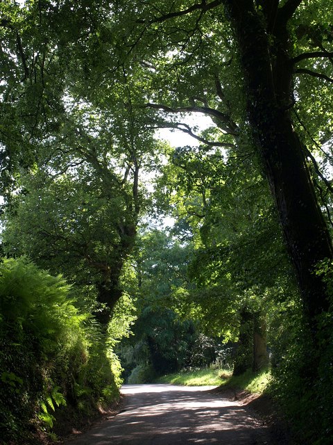
Image: © Derek Harper Taken: 1 Jul 2009
The road climbs past Danes Wood on the right; the second patch of sun on the right of the road indicates the entrance to the car park.
Images are licensed for reuse under creativecommons.org/licenses/by-sa/2.0
Image Location
Latitude
50.782096
Longitude
-3.464097