Regatta Way
Introduction
The photograph on this page of Regatta Way by Alan Murray-Rust as part of the Geograph project.
The Geograph project started in 2005 with the aim of publishing, organising and preserving representative images for every square kilometre of Great Britain, Ireland and the Isle of Man.

There are currently over 7.5m images from over 14,400 individuals and you can help contribute to the project by visiting https://www.geograph.org.uk
Regatta Way
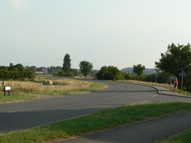
Image: © Alan Murray-Rust Taken: 2 Jul 2009
This was a new road built for access direct from the A52 to the National Water Sports Centre. At this point it joins the old-established Adbolton Lane.
Images are licensed for reuse under creativecommons.org/licenses/by-sa/2.0
Image Location
Latitude
52.937834
Longitude
-1.106315