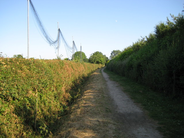
London Colney: Watling Chase Timberland Trail
Introduction
The photograph on this page of London Colney: Watling Chase Timberland Trail by Nigel Cox as part of the Geograph project.
The Geograph project started in 2005 with the aim of publishing, organising and preserving representative images for every square kilometre of Great Britain, Ireland and the Isle of Man.
There are currently over 7.5m images from over 14,400 individuals and you can help contribute to the project by visiting https://www.geograph.org.uk

Image: © Nigel Cox Taken: 1 Jul 2009
Watling Chase Timberland Trail is a defined National Trail, currently running for about 17 kilometres from Elstree & Borehamwood railway station via Shenley, London Colney, and Colney Heath to Smallford near Hatfield (and some distance from another railway station). It is only currently shown on the Ordnance Survey's 1:25,000 Explorer maps not the 1:50,000 Landranger ones. On top of that the Ordnance Survey describe it as "Watling Chase Trail" on the map and a current Google search on that term confusingly yields a mere 6 hits, compared to the 152 for the full name. At this point the trail follows a public footpath between the extremely well concealed Arsenal FC training ground on the right and the University College London (UCL) sports facilities on the left.
Image Location


