Roadway to Hackett lakes fishery
Introduction
The photograph on this page of Roadway to Hackett lakes fishery by Alan Murray-Rust as part of the Geograph project.
The Geograph project started in 2005 with the aim of publishing, organising and preserving representative images for every square kilometre of Great Britain, Ireland and the Isle of Man.

There are currently over 7.5m images from over 14,400 individuals and you can help contribute to the project by visiting https://www.geograph.org.uk
Roadway to Hackett lakes fishery
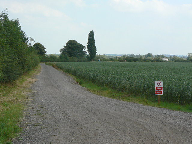
Image: © Alan Murray-Rust Taken: 2 Jul 2009
The track parallels Sandy Lane which runs on the other side of the hedge at the left.
Images are licensed for reuse under creativecommons.org/licenses/by-sa/2.0
Image Location
Latitude
52.94448
Longitude
-1.070312