Level Crossing, Caersws
Introduction
The photograph on this page of Level Crossing, Caersws by Eirian Evans as part of the Geograph project.
The Geograph project started in 2005 with the aim of publishing, organising and preserving representative images for every square kilometre of Great Britain, Ireland and the Isle of Man.

There are currently over 7.5m images from over 14,400 individuals and you can help contribute to the project by visiting https://www.geograph.org.uk
Level Crossing, Caersws
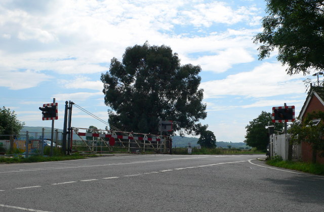
Image: © Eirian Evans Taken: 1 Jul 2009
Level crossing on the A470 south-east of Caersws, where the Aberystwyth to Shrewsbury lines cross.
Images are licensed for reuse under creativecommons.org/licenses/by-sa/2.0
Image Location
Latitude
52.511295
Longitude
-3.422763