Boundary of open space, Wolborough Hill (1)
Introduction
The photograph on this page of Boundary of open space, Wolborough Hill (1) by Robin Stott as part of the Geograph project.
The Geograph project started in 2005 with the aim of publishing, organising and preserving representative images for every square kilometre of Great Britain, Ireland and the Isle of Man.

There are currently over 7.5m images from over 14,400 individuals and you can help contribute to the project by visiting https://www.geograph.org.uk
Boundary of open space, Wolborough Hill (1)
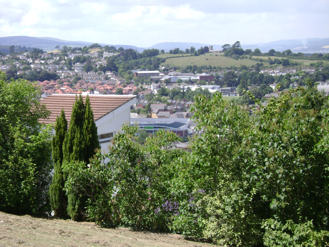
Image: © Robin Stott Taken: 26 Jun 2009
A scrap of steeply sloping open space below Courtenay Road commands views of the country around Newton Abbot. Right of centre is All Saints Church, Highweek Image
Images are licensed for reuse under creativecommons.org/licenses/by-sa/2.0
Image Location
Latitude
50.525842
Longitude
-3.60965