Hawes cricket field
Introduction
The photograph on this page of Hawes cricket field by David Pickersgill as part of the Geograph project.
The Geograph project started in 2005 with the aim of publishing, organising and preserving representative images for every square kilometre of Great Britain, Ireland and the Isle of Man.

There are currently over 7.5m images from over 14,400 individuals and you can help contribute to the project by visiting https://www.geograph.org.uk
Hawes cricket field
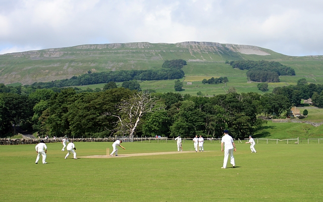
Image: © David Pickersgill Taken: 28 Jun 2009
Few clubs can have as attractively-located a ground as Hawes CC, here looking north to the slopes of Stags Fell.
Images are licensed for reuse under creativecommons.org/licenses/by-sa/2.0
Image Location
Latitude
54.308959
Longitude
-2.189776