Beaminster: view along Hollymoor Lane
Introduction
The photograph on this page of Beaminster: view along Hollymoor Lane by Chris Downer as part of the Geograph project.
The Geograph project started in 2005 with the aim of publishing, organising and preserving representative images for every square kilometre of Great Britain, Ireland and the Isle of Man.

There are currently over 7.5m images from over 14,400 individuals and you can help contribute to the project by visiting https://www.geograph.org.uk
Beaminster: view along Hollymoor Lane
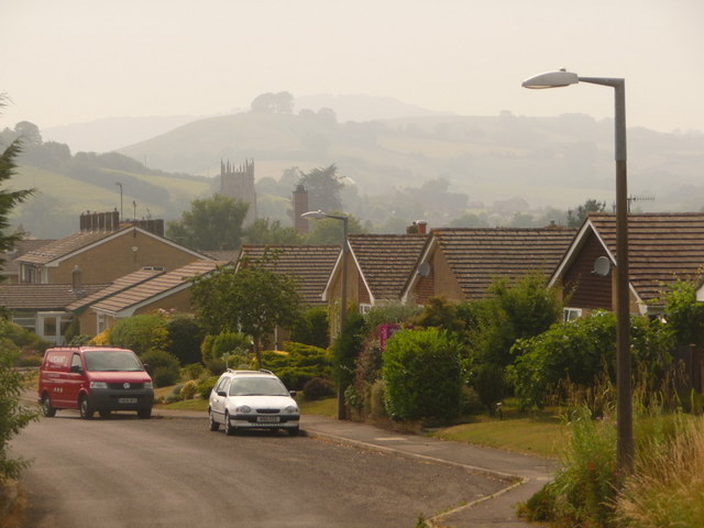
Image: © Chris Downer Taken: 2 Jul 2009
The misty hillsides west of the town provide a backdrop for this view of the parish church tower, seen above the rooftops of bungalows in Hollymoor Lane.
Images are licensed for reuse under creativecommons.org/licenses/by-sa/2.0
Image Location
Latitude
50.808784
Longitude
-2.730299