Flooded Track
Introduction
The photograph on this page of Flooded Track by Anne Burgess as part of the Geograph project.
The Geograph project started in 2005 with the aim of publishing, organising and preserving representative images for every square kilometre of Great Britain, Ireland and the Isle of Man.

There are currently over 7.5m images from over 14,400 individuals and you can help contribute to the project by visiting https://www.geograph.org.uk
Flooded Track
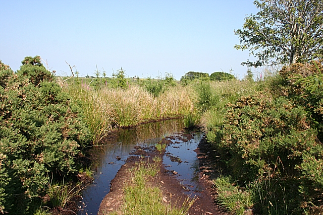
Image: © Anne Burgess Taken: 2 Jul 2009
It was surprising to see such a large amount of water still lying in spite of the recent warm dry weather. Fortunately it was not difficult to get round it.
Images are licensed for reuse under creativecommons.org/licenses/by-sa/2.0
Image Location
Latitude
57.622604
Longitude
-2.253621