Red Lion Public House, High Street, Snodland, Kent
Introduction
The photograph on this page of Red Lion Public House, High Street, Snodland, Kent by Oast House Archive as part of the Geograph project.
The Geograph project started in 2005 with the aim of publishing, organising and preserving representative images for every square kilometre of Great Britain, Ireland and the Isle of Man.

There are currently over 7.5m images from over 14,400 individuals and you can help contribute to the project by visiting https://www.geograph.org.uk
Red Lion Public House, High Street, Snodland, Kent
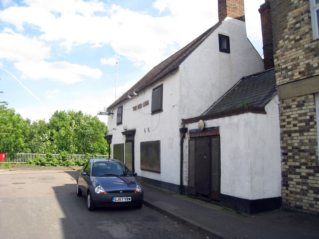
Image: © Oast House Archive Taken: 21 May 2009
Compulsory purchased when the adjacent bypass was constructed. However it wasn't necessary to demolish it and it has been left derelict since. As featured on "Homes Under The Hammer".
Images are licensed for reuse under creativecommons.org/licenses/by-sa/2.0
Image Location
Latitude
51.329639
Longitude
0.446344