Frampton: Browne?s Corner
Introduction
The photograph on this page of Frampton: Browne?s Corner by Chris Downer as part of the Geograph project.
The Geograph project started in 2005 with the aim of publishing, organising and preserving representative images for every square kilometre of Great Britain, Ireland and the Isle of Man.

There are currently over 7.5m images from over 14,400 individuals and you can help contribute to the project by visiting https://www.geograph.org.uk
Frampton: Browne?s Corner
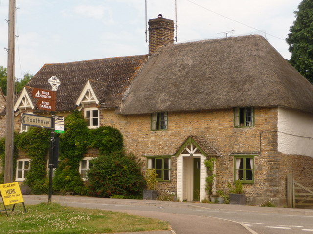
Image: © Chris Downer Taken: 2 Jul 2009
This junction is so named according to the finial of the signpost, which gives location and grid reference. This is the original finial although the fingers themselves are modern replacements. For a close-up of the finial, see Image
Images are licensed for reuse under creativecommons.org/licenses/by-sa/2.0
Image Location


Leaflet Map data © OpenStreetMap
Latitude
50.753466
Longitude
-2.533526