Silage Field
Introduction
The photograph on this page of Silage Field by Anne Burgess as part of the Geograph project.
The Geograph project started in 2005 with the aim of publishing, organising and preserving representative images for every square kilometre of Great Britain, Ireland and the Isle of Man.

There are currently over 7.5m images from over 14,400 individuals and you can help contribute to the project by visiting https://www.geograph.org.uk
Silage Field
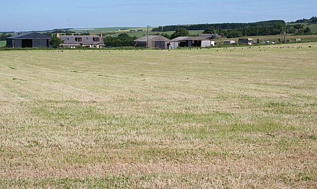
Image: © Anne Burgess Taken: 2 Jul 2009
The farm is not separately named on the modern 1:50,000 or 1:25,000 map, but the 1874 six-inch map suggests it is Ardconnon. The farm buildings are just over the gridline, but the silage field is all in square.
Images are licensed for reuse under creativecommons.org/licenses/by-sa/2.0
Image Location
Latitude
57.593581
Longitude
-2.33522