Brownsbrook Cottage, Dawlish
Introduction
The photograph on this page of Brownsbrook Cottage, Dawlish by Robin Stott as part of the Geograph project.
The Geograph project started in 2005 with the aim of publishing, organising and preserving representative images for every square kilometre of Great Britain, Ireland and the Isle of Man.

There are currently over 7.5m images from over 14,400 individuals and you can help contribute to the project by visiting https://www.geograph.org.uk
Brownsbrook Cottage, Dawlish
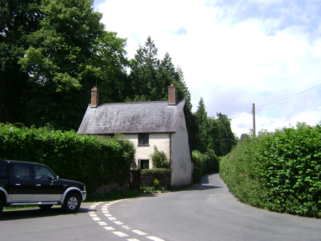
Image: © Robin Stott Taken: 27 Jun 2009
On the edge of Luscombe Park at the bottom of Bere Hill, right, which is joined by Aller Hill, left.
Images are licensed for reuse under creativecommons.org/licenses/by-sa/2.0
Image Location
Latitude
50.579669
Longitude
-3.484364