Flour Mill
Introduction
The photograph on this page of Flour Mill by Graham Horn as part of the Geograph project.
The Geograph project started in 2005 with the aim of publishing, organising and preserving representative images for every square kilometre of Great Britain, Ireland and the Isle of Man.

There are currently over 7.5m images from over 14,400 individuals and you can help contribute to the project by visiting https://www.geograph.org.uk
Flour Mill
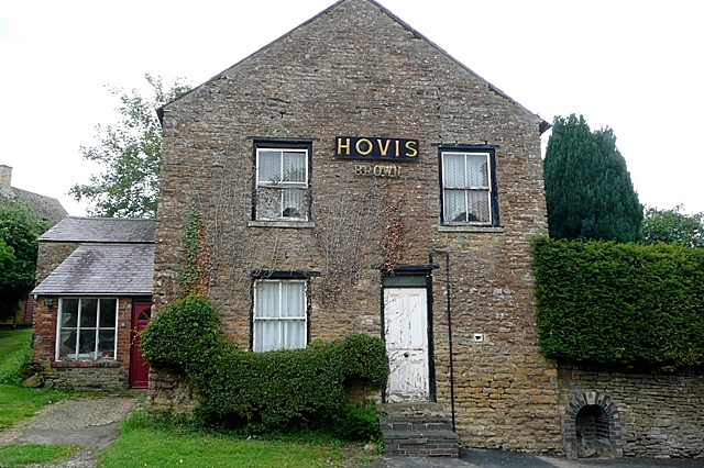
Image: © Graham Horn Taken: 18 Jun 2009
From the Hovis sign on the wall this is possibly the old flour mill, although other knowledge would be welcome.
Images are licensed for reuse under creativecommons.org/licenses/by-sa/2.0
Image Location
Latitude
52.021914
Longitude
-1.277701