St Loyes Street, Bedford
Introduction
The photograph on this page of St Loyes Street, Bedford by Rich Tea as part of the Geograph project.
The Geograph project started in 2005 with the aim of publishing, organising and preserving representative images for every square kilometre of Great Britain, Ireland and the Isle of Man.

There are currently over 7.5m images from over 14,400 individuals and you can help contribute to the project by visiting https://www.geograph.org.uk
St Loyes Street, Bedford
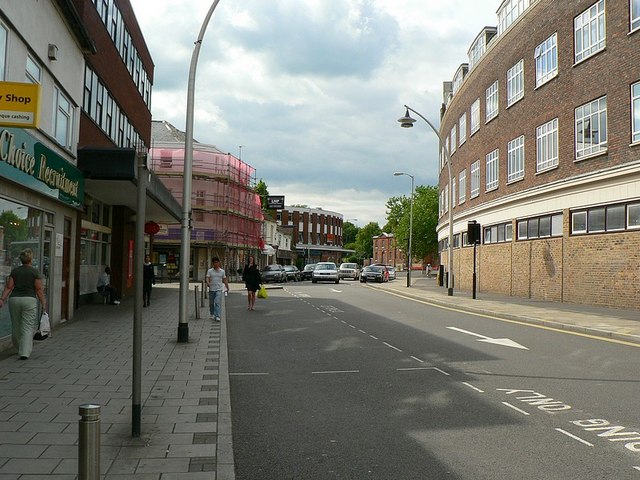
Image: © Rich Tea Taken: 19 Jun 2009
With the BT offices on the right (known as Telephone House when my father worked there in the 1950's and 60's). See the Harpur Street side of the building Image During the 1960's the newer part of the building was being constructed with a tower crane. The crane was being extended or altered, when it collapsed onto the roof at the top of the picture, just above the room where my father worked. Fortunately it was Sunday, so the offices were empty. The road was closed for a few days while they cleared up the mess.
Images are licensed for reuse under creativecommons.org/licenses/by-sa/2.0
Image Location
Latitude
52.137996
Longitude
-0.469254