Ashton Fire Station
Introduction
The photograph on this page of Ashton Fire Station by Gerald England as part of the Geograph project.
The Geograph project started in 2005 with the aim of publishing, organising and preserving representative images for every square kilometre of Great Britain, Ireland and the Isle of Man.

There are currently over 7.5m images from over 14,400 individuals and you can help contribute to the project by visiting https://www.geograph.org.uk
Ashton Fire Station
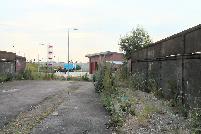
Image: © Gerald England Taken: 30 Jun 2009
Behind the old Slate Lane bridge is the new Ashton under Lyne Community Fire Station.
Images are licensed for reuse under creativecommons.org/licenses/by-sa/2.0
Image Location
Latitude
53.477498
Longitude
-2.118238