Gorse Covert, Bradfield Combust
Introduction
The photograph on this page of Gorse Covert, Bradfield Combust by Bob Jones as part of the Geograph project.
The Geograph project started in 2005 with the aim of publishing, organising and preserving representative images for every square kilometre of Great Britain, Ireland and the Isle of Man.

There are currently over 7.5m images from over 14,400 individuals and you can help contribute to the project by visiting https://www.geograph.org.uk
Gorse Covert, Bradfield Combust
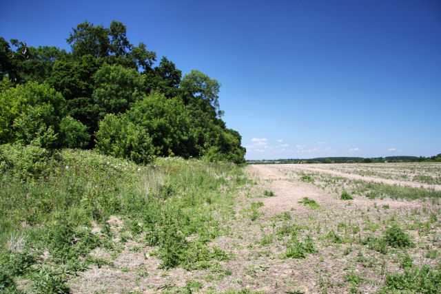
Image: © Bob Jones Taken: 23 Jun 2009
The patch of woodland lies north of Bradfield Hall. The field to the east of the covert is currently lying fallow.
Images are licensed for reuse under creativecommons.org/licenses/by-sa/2.0
Image Location
Latitude
52.183078
Longitude
0.775128