Woodseats Mews
Introduction
The photograph on this page of Woodseats Mews by Martin Speck as part of the Geograph project.
The Geograph project started in 2005 with the aim of publishing, organising and preserving representative images for every square kilometre of Great Britain, Ireland and the Isle of Man.

There are currently over 7.5m images from over 14,400 individuals and you can help contribute to the project by visiting https://www.geograph.org.uk
Woodseats Mews
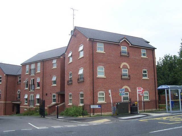
Image: © Martin Speck Taken: 30 Jun 2009
Modern high density housing. This estate is built on the site of Norton Hammer, close to the upper dam. Norton Hammer was an iron forge, later used as a grinding wheel for scythes and sickles. The Norton Hammer was in use until the 1880's, and was abandoned by 1991.
Images are licensed for reuse under creativecommons.org/licenses/by-sa/2.0
Image Location
Latitude
53.350339
Longitude
-1.485296