Cottages at Seatown Lossiemouth
Introduction
The photograph on this page of Cottages at Seatown Lossiemouth by Ann Harrison as part of the Geograph project.
The Geograph project started in 2005 with the aim of publishing, organising and preserving representative images for every square kilometre of Great Britain, Ireland and the Isle of Man.

There are currently over 7.5m images from over 14,400 individuals and you can help contribute to the project by visiting https://www.geograph.org.uk
Cottages at Seatown Lossiemouth
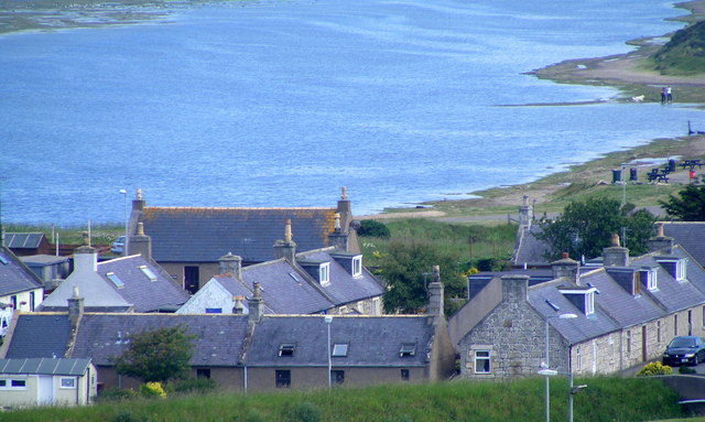
Image: © Ann Harrison Taken: 26 Jun 2009
In the old days the river Lossie used to flood into Seatown, with rising sea levels it is believed that this will happen again.
Images are licensed for reuse under creativecommons.org/licenses/by-sa/2.0
Image Location
Latitude
57.715804
Longitude
-3.281702