Wealden Countryside
Introduction
The photograph on this page of Wealden Countryside by Simon Carey as part of the Geograph project.
The Geograph project started in 2005 with the aim of publishing, organising and preserving representative images for every square kilometre of Great Britain, Ireland and the Isle of Man.

There are currently over 7.5m images from over 14,400 individuals and you can help contribute to the project by visiting https://www.geograph.org.uk
Wealden Countryside
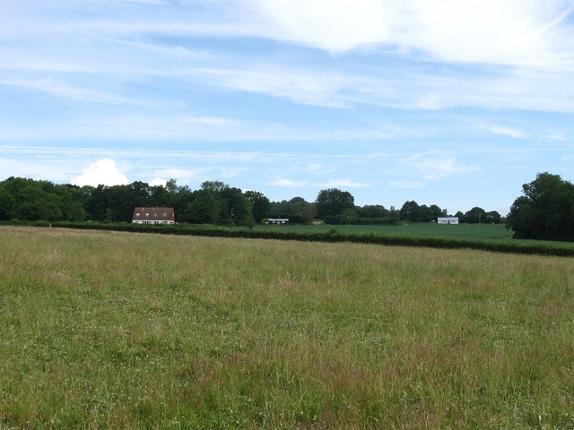
Image: © Simon Carey Taken: 28 Jun 2009
Viewed from the footpath that links Hurstwood Road to Holders Farm. The Weald is a former forested area that was colonised with fields and small settlements hacked out of the waste.
Images are licensed for reuse under creativecommons.org/licenses/by-sa/2.0
Image Location


Leaflet Map data © OpenStreetMap
Latitude
51.01177
Longitude
0.136172