Norleywood, ford
Introduction
The photograph on this page of Norleywood, ford by Mike Faherty as part of the Geograph project.
The Geograph project started in 2005 with the aim of publishing, organising and preserving representative images for every square kilometre of Great Britain, Ireland and the Isle of Man.

There are currently over 7.5m images from over 14,400 individuals and you can help contribute to the project by visiting https://www.geograph.org.uk
Norleywood, ford
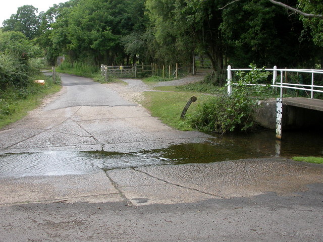
Image: © Mike Faherty Taken: 28 Jun 2009
Slight hazard (at this time of year) faced by drivers from Norleywood to South Baddesley; the water-level board isn't showing much.
Images are licensed for reuse under creativecommons.org/licenses/by-sa/2.0
Image Location
Latitude
50.775099
Longitude
-1.497609