Point Quay
Introduction
The photograph on this page of Point Quay by Fred James as part of the Geograph project.
The Geograph project started in 2005 with the aim of publishing, organising and preserving representative images for every square kilometre of Great Britain, Ireland and the Isle of Man.

There are currently over 7.5m images from over 14,400 individuals and you can help contribute to the project by visiting https://www.geograph.org.uk
Point Quay
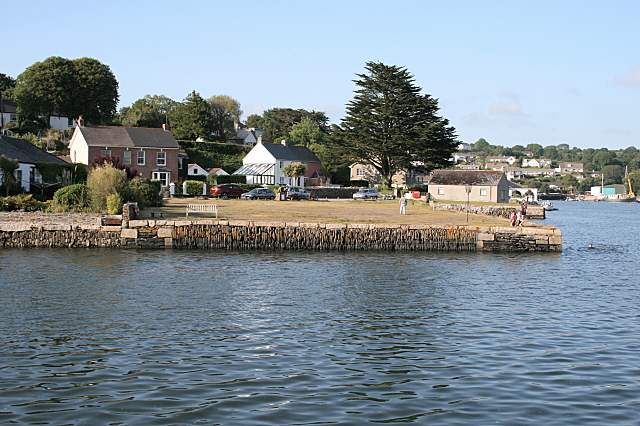
Image: © Fred James Taken: 26 Jun 2009
This was the eastern limit of the Redruth and Chasewater Railway (1824 – 1915) It was named Chasewater and not Chacewater due to a spelling mistake by the person that drew up the original company documents. (Probably an ancestor of mine whose spelling abilities I have inherited.)
Images are licensed for reuse under creativecommons.org/licenses/by-sa/2.0
Image Location
Latitude
50.205625
Longitude
-5.070708