Woolland: view across village from above
Introduction
The photograph on this page of Woolland: view across village from above by Chris Downer as part of the Geograph project.
The Geograph project started in 2005 with the aim of publishing, organising and preserving representative images for every square kilometre of Great Britain, Ireland and the Isle of Man.

There are currently over 7.5m images from over 14,400 individuals and you can help contribute to the project by visiting https://www.geograph.org.uk
Woolland: view across village from above
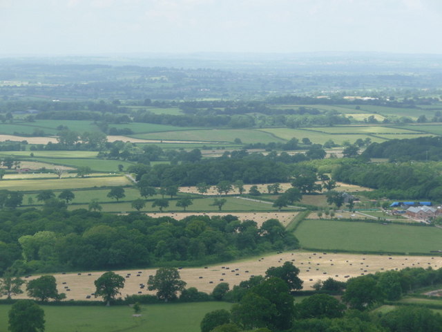
Image: © Chris Downer Taken: 27 Jun 2009
Looking from the road south of Woolland, high above the village on the slopes of Bulbarrow Hill, we look northwest towards the buildings of Dairy House Farm (far right), with Crate Wood the prominent woodland towards the bottom-left.
Images are licensed for reuse under creativecommons.org/licenses/by-sa/2.0
Image Location


Leaflet Map data © OpenStreetMap
Latitude
50.865458
Longitude
-2.33004