Melcombe Bingham: the green
Introduction
The photograph on this page of Melcombe Bingham: the green by Chris Downer as part of the Geograph project.
The Geograph project started in 2005 with the aim of publishing, organising and preserving representative images for every square kilometre of Great Britain, Ireland and the Isle of Man.

There are currently over 7.5m images from over 14,400 individuals and you can help contribute to the project by visiting https://www.geograph.org.uk
Melcombe Bingham: the green
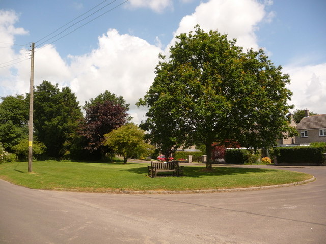
Image: © Chris Downer Taken: 27 Jun 2009
A small village green between the main lane through the village and the small cul-de-sac, Hartfoot Close.
Images are licensed for reuse under creativecommons.org/licenses/by-sa/2.0
Image Location
Latitude
50.82371
Longitude
-2.338122