Erme Plym Trail
Introduction
The photograph on this page of Erme Plym Trail by jeff collins as part of the Geograph project.
The Geograph project started in 2005 with the aim of publishing, organising and preserving representative images for every square kilometre of Great Britain, Ireland and the Isle of Man.

There are currently over 7.5m images from over 14,400 individuals and you can help contribute to the project by visiting https://www.geograph.org.uk
Erme Plym Trail
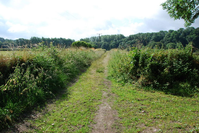
Image: © jeff collins Taken: 27 Jun 2009
This part of the trail is just after Yeolands,heading towards Lower Keaton.
Images are licensed for reuse under creativecommons.org/licenses/by-sa/2.0
Image Location
Latitude
50.378405
Longitude
-3.919708