Tuxford High Street
Introduction
The photograph on this page of Tuxford High Street by roger geach as part of the Geograph project.
The Geograph project started in 2005 with the aim of publishing, organising and preserving representative images for every square kilometre of Great Britain, Ireland and the Isle of Man.

There are currently over 7.5m images from over 14,400 individuals and you can help contribute to the project by visiting https://www.geograph.org.uk
Tuxford High Street
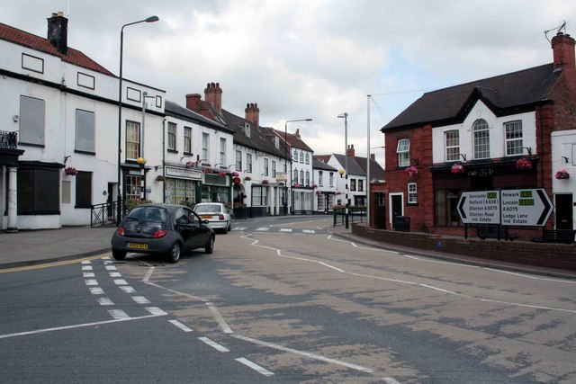
Image: © roger geach Taken: 26 Jun 2009
The road to the left leads to Markham Moor or Ollerton, the junction is just around the corner. Turn right towards Lincoln.
Images are licensed for reuse under creativecommons.org/licenses/by-sa/2.0
Image Location
Latitude
53.231491
Longitude
-0.899164