Bulverhythe, West St Leonards, Bridge Way. The Footbridge over the railway to the beach. March 2006.
Introduction
The photograph on this page of Bulverhythe, West St Leonards, Bridge Way. The Footbridge over the railway to the beach. March 2006. by Simon Hookey as part of the Geograph project.
The Geograph project started in 2005 with the aim of publishing, organising and preserving representative images for every square kilometre of Great Britain, Ireland and the Isle of Man.

There are currently over 7.5m images from over 14,400 individuals and you can help contribute to the project by visiting https://www.geograph.org.uk
Bulverhythe, West St Leonards, Bridge Way. The Footbridge over the railway to the beach. March 2006.
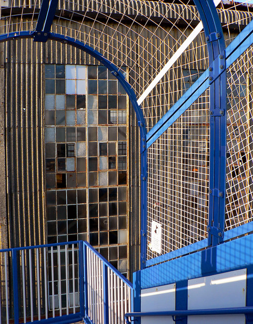
Image: © Simon Hookey Taken: 14 Mar 2006
The footbridge, freshly painted, with the old engine sheds in the background.
Images are licensed for reuse under creativecommons.org/licenses/by-sa/2.0
Image Location
Latitude
50.84792
Longitude
0.518653