Bradfield Hall
Introduction
The photograph on this page of Bradfield Hall by Bob Jones as part of the Geograph project.
The Geograph project started in 2005 with the aim of publishing, organising and preserving representative images for every square kilometre of Great Britain, Ireland and the Isle of Man.

There are currently over 7.5m images from over 14,400 individuals and you can help contribute to the project by visiting https://www.geograph.org.uk
Bradfield Hall
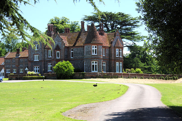
Image: © Bob Jones Taken: 23 Jun 2009
This historic house in the village of Bradfield Combust has been converted into 17 flats and apartments.
Images are licensed for reuse under creativecommons.org/licenses/by-sa/2.0
Image Location
Latitude
52.181364
Longitude
0.77151