Nobridge farm
Introduction
The photograph on this page of Nobridge farm by Andrew Darge as part of the Geograph project.
The Geograph project started in 2005 with the aim of publishing, organising and preserving representative images for every square kilometre of Great Britain, Ireland and the Isle of Man.

There are currently over 7.5m images from over 14,400 individuals and you can help contribute to the project by visiting https://www.geograph.org.uk
Nobridge farm
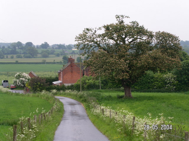
Image: © Andrew Darge Taken: 28 May 2004
A typical farm lying on the fringe of a big country estate . Photographed while collecting data for a family research project.
Images are licensed for reuse under creativecommons.org/licenses/by-sa/2.0
Image Location


Leaflet Map data © OpenStreetMap
Latitude
52.922958
Longitude
-2.523523