Dartmouth from Hoodown
Introduction
The photograph on this page of Dartmouth from Hoodown by Derek Harper as part of the Geograph project.
The Geograph project started in 2005 with the aim of publishing, organising and preserving representative images for every square kilometre of Great Britain, Ireland and the Isle of Man.

There are currently over 7.5m images from over 14,400 individuals and you can help contribute to the project by visiting https://www.geograph.org.uk
Dartmouth from Hoodown
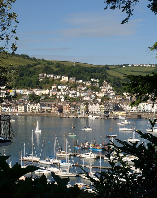
Image: © Derek Harper Taken: 21 Jun 2009
Looking over pontoons on the Kingswear side of the Dart. Seen from just beyond the gate shown in Image Buildings on South Embankment in Dartmouth face across the water, with Above Town higher up, and Jawbone Hill the diagonal line that ends.
Images are licensed for reuse under creativecommons.org/licenses/by-sa/2.0
Image Location
Latitude
50.349992
Longitude
-3.578394