Rifle Range
Introduction
The photograph on this page of Rifle Range by Alan Murray-Rust as part of the Geograph project.
The Geograph project started in 2005 with the aim of publishing, organising and preserving representative images for every square kilometre of Great Britain, Ireland and the Isle of Man.

There are currently over 7.5m images from over 14,400 individuals and you can help contribute to the project by visiting https://www.geograph.org.uk
Rifle Range
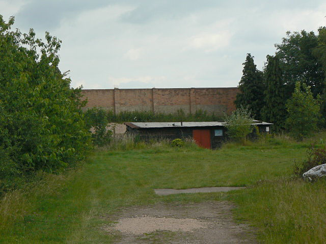
Image: © Alan Murray-Rust Taken: 21 Jun 2009
Now just a short range. The fields beyond the butts wall used to be part of a full-length army range but are now arable land.
Images are licensed for reuse under creativecommons.org/licenses/by-sa/2.0
Image Location
Latitude
52.88336
Longitude
-1.264067