David Limb trail
Introduction
The photograph on this page of David Limb trail by John Palmer as part of the Geograph project.
The Geograph project started in 2005 with the aim of publishing, organising and preserving representative images for every square kilometre of Great Britain, Ireland and the Isle of Man.

There are currently over 7.5m images from over 14,400 individuals and you can help contribute to the project by visiting https://www.geograph.org.uk
David Limb trail
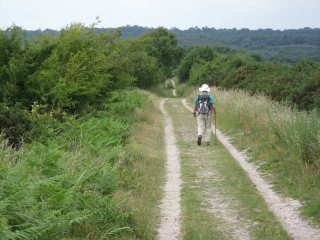
Image: © John Palmer Taken: 22 Jun 2009
This hard sandy track crosses the Tadnoll & Winfrith Nature Reserve. It is a permissive right of way only, but gives access to the new Wetlands Project on Old Prison Fields, where scrapes and sluices have been installed to attract wading birds.
Images are licensed for reuse under creativecommons.org/licenses/by-sa/2.0
Image Location
Latitude
50.678365
Longitude
-2.279048