Nature Reserve entrance
Introduction
The photograph on this page of Nature Reserve entrance by John Palmer as part of the Geograph project.
The Geograph project started in 2005 with the aim of publishing, organising and preserving representative images for every square kilometre of Great Britain, Ireland and the Isle of Man.

There are currently over 7.5m images from over 14,400 individuals and you can help contribute to the project by visiting https://www.geograph.org.uk
Nature Reserve entrance
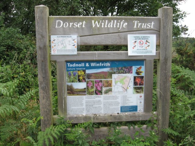
Image: © John Palmer Taken: 22 Jun 2009
Tadnoll & Winfrith Nature Reserve covers 155 hectares of dry, humid and wet heath, acid bog pools and flood meadows. It is run by the Dorset Wildlife Trust. DWT have recently introduced a Wetlands Project of shallow scrapes and sluices to attract wading birds such as Lapwings, Snipe and Redshank.
Images are licensed for reuse under creativecommons.org/licenses/by-sa/2.0
Image Location
Latitude
50.677557
Longitude
-2.278477