End of Norman Road
Introduction
The photograph on this page of End of Norman Road by David Anstiss as part of the Geograph project.
The Geograph project started in 2005 with the aim of publishing, organising and preserving representative images for every square kilometre of Great Britain, Ireland and the Isle of Man.

There are currently over 7.5m images from over 14,400 individuals and you can help contribute to the project by visiting https://www.geograph.org.uk
End of Norman Road
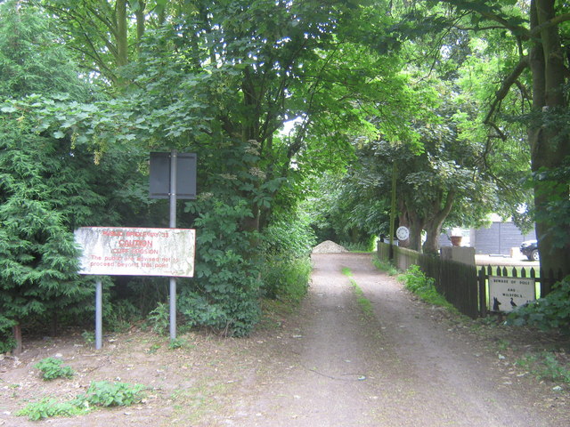
Image: © David Anstiss Taken: 21 Jun 2009
A bridleway used to run from the road alongside Barrows Brook towards the cliff edge and then down Manor Road near Warden. Due to coastal erosion and frequent lands slips this is not safe to use anymore.
Images are licensed for reuse under creativecommons.org/licenses/by-sa/2.0
Image Location
Latitude
51.4164
Longitude
0.882474