2009 : Cromhall Lane approaching Manor Farm
Introduction
The photograph on this page of 2009 : Cromhall Lane approaching Manor Farm by Maurice Pullin as part of the Geograph project.
The Geograph project started in 2005 with the aim of publishing, organising and preserving representative images for every square kilometre of Great Britain, Ireland and the Isle of Man.

There are currently over 7.5m images from over 14,400 individuals and you can help contribute to the project by visiting https://www.geograph.org.uk
2009 : Cromhall Lane approaching Manor Farm
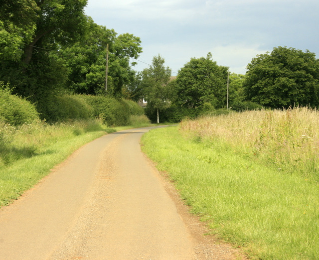
Image: © Maurice Pullin Taken: 20 Jun 2009
At Upper Easton Piercy.
Images are licensed for reuse under creativecommons.org/licenses/by-sa/2.0
Image Location
Latitude
51.497312
Longitude
-2.166045