Studland: postbox № BH19 79, Ferry Road
Introduction
The photograph on this page of Studland: postbox № BH19 79, Ferry Road by Chris Downer as part of the Geograph project.
The Geograph project started in 2005 with the aim of publishing, organising and preserving representative images for every square kilometre of Great Britain, Ireland and the Isle of Man.

There are currently over 7.5m images from over 14,400 individuals and you can help contribute to the project by visiting https://www.geograph.org.uk
Studland: postbox № BH19 79, Ferry Road
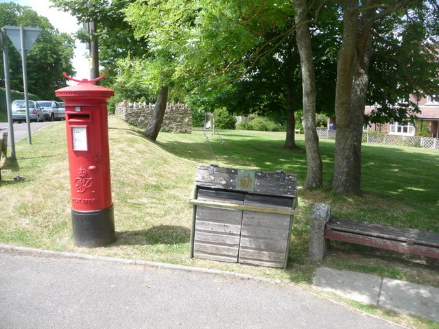
Image: © Chris Downer Taken: 21 Jun 2009
This George VI-reign postbox stands opposite the Image and is emptied finally at 4:30pm on weekdays and at 10:30am on Saturdays – unsurprisingly, the latest times of the four boxes in the village.
Images are licensed for reuse under creativecommons.org/licenses/by-sa/2.0
Image Location
Latitude
50.64191
Longitude
-1.952995