Cotehill Farm
Introduction
The photograph on this page of Cotehill Farm by Simon Johnston as part of the Geograph project.
The Geograph project started in 2005 with the aim of publishing, organising and preserving representative images for every square kilometre of Great Britain, Ireland and the Isle of Man.

There are currently over 7.5m images from over 14,400 individuals and you can help contribute to the project by visiting https://www.geograph.org.uk
Cotehill Farm
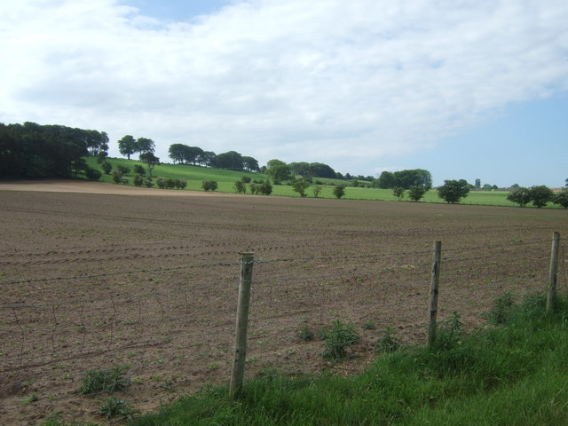
Image: © Simon Johnston Taken: 31 May 2009
looking across fields to Riggside Plantation, left. Far right is the town of Brampton.
Images are licensed for reuse under creativecommons.org/licenses/by-sa/2.0
Image Location
Latitude
54.952294
Longitude
-2.72289