Wharncliffe
Introduction
The photograph on this page of Wharncliffe by Roger May as part of the Geograph project.
The Geograph project started in 2005 with the aim of publishing, organising and preserving representative images for every square kilometre of Great Britain, Ireland and the Isle of Man.

There are currently over 7.5m images from over 14,400 individuals and you can help contribute to the project by visiting https://www.geograph.org.uk
Wharncliffe
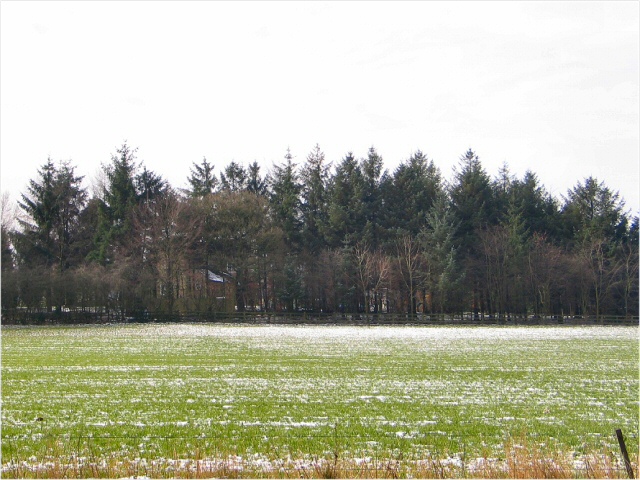
Image: © Roger May Taken: 13 Mar 2006
The A629 cuts through the section of Booth Wood which almost conceals Wharncliffe House. View west through the wood froma layby on the A629.
Images are licensed for reuse under creativecommons.org/licenses/by-sa/2.0
Image Location
Latitude
53.479617
Longitude
-1.534362