Orton village
Introduction
The photograph on this page of Orton village by roger geach as part of the Geograph project.
The Geograph project started in 2005 with the aim of publishing, organising and preserving representative images for every square kilometre of Great Britain, Ireland and the Isle of Man.

There are currently over 7.5m images from over 14,400 individuals and you can help contribute to the project by visiting https://www.geograph.org.uk
Orton village
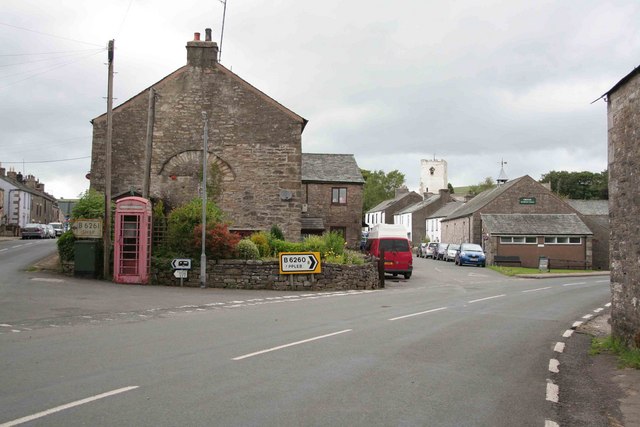
Image: © roger geach Taken: 19 Jun 2009
Road junction at Orton, round the bend to Appleby and left towards Shap. The phone box could do with a coat of new red paint. In the distance can be seen the church tower.
Images are licensed for reuse under creativecommons.org/licenses/by-sa/2.0
Image Location
Latitude
54.468294
Longitude
-2.584415