Muchalls
Introduction
The photograph on this page of Muchalls by Anne Burgess as part of the Geograph project.
The Geograph project started in 2005 with the aim of publishing, organising and preserving representative images for every square kilometre of Great Britain, Ireland and the Isle of Man.

There are currently over 7.5m images from over 14,400 individuals and you can help contribute to the project by visiting https://www.geograph.org.uk
Muchalls
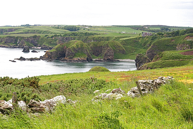
Image: © Anne Burgess Taken: 19 Jun 2009
The coastline at Muchalls is very indented. The prominent humps of almost-detached cliff in the middle distance are in the next square.
Images are licensed for reuse under creativecommons.org/licenses/by-sa/2.0
Image Location
Latitude
57.019748
Longitude
-2.157268