Trig point near The Hermitage
Introduction
The photograph on this page of Trig point near The Hermitage by Richard Law as part of the Geograph project.
The Geograph project started in 2005 with the aim of publishing, organising and preserving representative images for every square kilometre of Great Britain, Ireland and the Isle of Man.

There are currently over 7.5m images from over 14,400 individuals and you can help contribute to the project by visiting https://www.geograph.org.uk
Trig point near The Hermitage
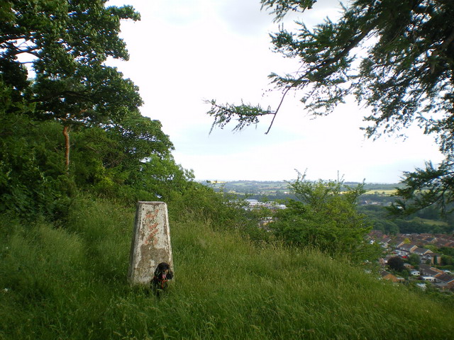
Image: © Richard Law Taken: 18 Jun 2009
Trig point at 123m, high above Bridgnorth. Looking south, the roof of the Star Aluminium works is just visible between the trees.
Images are licensed for reuse under creativecommons.org/licenses/by-sa/2.0
Image Location
Latitude
52.536245
Longitude
-2.402881